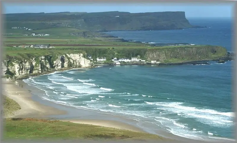
About Ireland located on the island of the same name in northern Europe, tourists know three important things: Guinness beer is brewed here, St. Patrick's Day is widely celebrated and Irish dances are performed magnificently. This is already enough to plan a vacation in the country of delicious stews and medieval castles, and the seas of Ireland, the severity and beauty of which are legendary, will adequately complement the excursion program.
A bit of geography
The world map answers in detail the question of which sea washes Ireland. Its north, west and east are given over to the most beautiful ocean of the planet - the Atlantic, and the Irish Sea is "responsible" for the eastern shores, connected to the ocean by the North and St. George straits.
Ireland's seas play an important role in shaping its climate. The west and southwest coasts are influenced by an ocean current called the Gulf Stream. It is warm, and therefore the climate of this part of the country is quite moderate, despite the northern latitudes. The temperature of the Atlantic off the coast of Ireland can reach +17 degrees at the height of summer, and therefore its most seasoned inhabitants and guests boldly and quickly swim on the local harsh beaches.
And also, answering the question which seas are in Ireland, one can mention their importance in the country's economy. The port of Dublin is located on the Irish Sea, through which dozens of merchant ships under the flags of various world powers pass every day. The Port of Kilkill is the capital of Irish fishermen who courageously and conscientiously harvest sprat, flounder, cod and herring in the Irish sea.
Interesting Facts
- The Irish Sea is shallow and the lowest point on its bottom is 175 meters.
- The water temperature in it is about +5 degrees in winter and +16 in summer, while January and February are the time of strong storms.
- The salinity of the Irish Sea ranges from 32 to almost 35 ppm.
- Tides are another local feature. Their size can reach six meters.
- Over the past 120 years, the possibility of building either an underground tunnel under the sea or a bridge over it has been widely discussed in Ireland.
- The St. George Watering, which links the South of the Irish Sea with the Celtic Sea and the Atlantic, is named after the saint who, according to 14th century legend, swam across the strait.
- The width of the strait does not exceed 75 km, and its depth is about 80 meters.
- The North Strait of the Irish Sea is characterized by strong tidal currents, ample depth and difficult navigation conditions.


